Barwon Heads History
The Barwon Bluff was a particularly significant place for local Wadawurrung people who made their home from Ballarat to the coast. With combinations of sea, rock platforms, rivers and extensive wetlands, the area was an important summer camping ground for many thousands of years. Numerous artefacts from this rich history are found locally in the form of shell middens, campsites, and tools. There are many protected midden sites, all of which are located directly on the Bluff and also to the west along 13th Beach. Bluff Marine Sanctuary includes the wrecks of two ships, situated on the outer part of the reef.
In early European history, the Barwon Bluff was an important landmark for ships entering the Port Phillip Heads. There were several wrecks in the area resulting from the mistaking of the Bluff for the entrance to Port Phillip Bay, particularly during the wars as many coastal identifying features were obscured to protect the coast from enemy spies. One the most famous of these wrecks was the steamer Orungal, the boiler of which can be seen sticking out of the water to the north of the Marine Sanctuary. An immigrant ship, the Earl of Charlemont, was also wrecked here in 1853 during the gold rush period.
The Barwon River was the basis of a small commercial fishing fleet and several historic buildings in the river relate to this period of Barwon Heads history. Its development as a major port was limited by the treacherous sandbars across the entrance and the strong tidal flow.
Images provided by Martin Klabbers
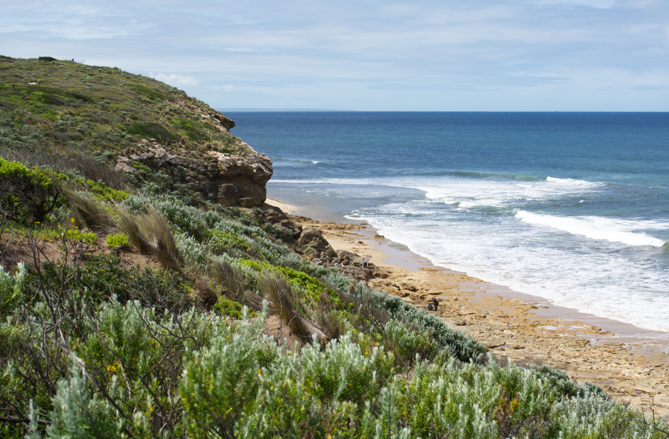
As can be seen below, over the years erosion has removed some of the loose sand revealing some craggy harder sections but the basic slope and structure has changed little.
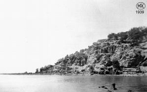
The profile of the bluff as taken in 1939
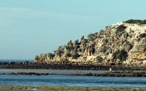
The same profile as taken in 2002
Again in the above comparison of the 1905 picture (below left) and the 2002 photo (below right), the overlying loose sand has eroded but the structure remains identical.
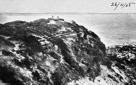
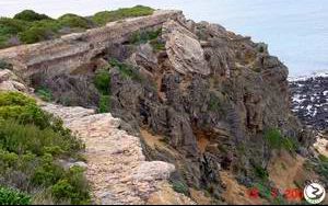
Again in the above comparison of the 1905 picture (above left) and the 2002 photo (above right), the overlying loose sand has eroded but the structure remains identical.
Local history
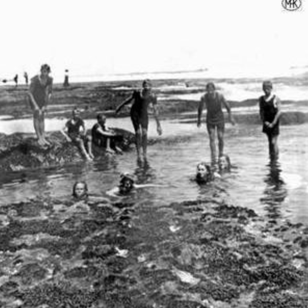
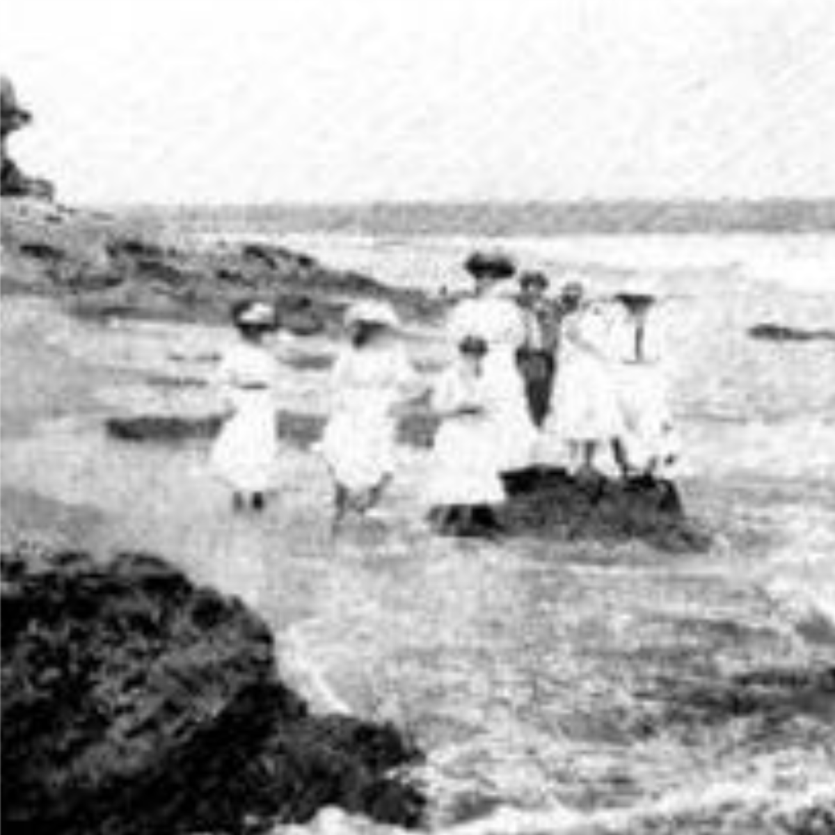
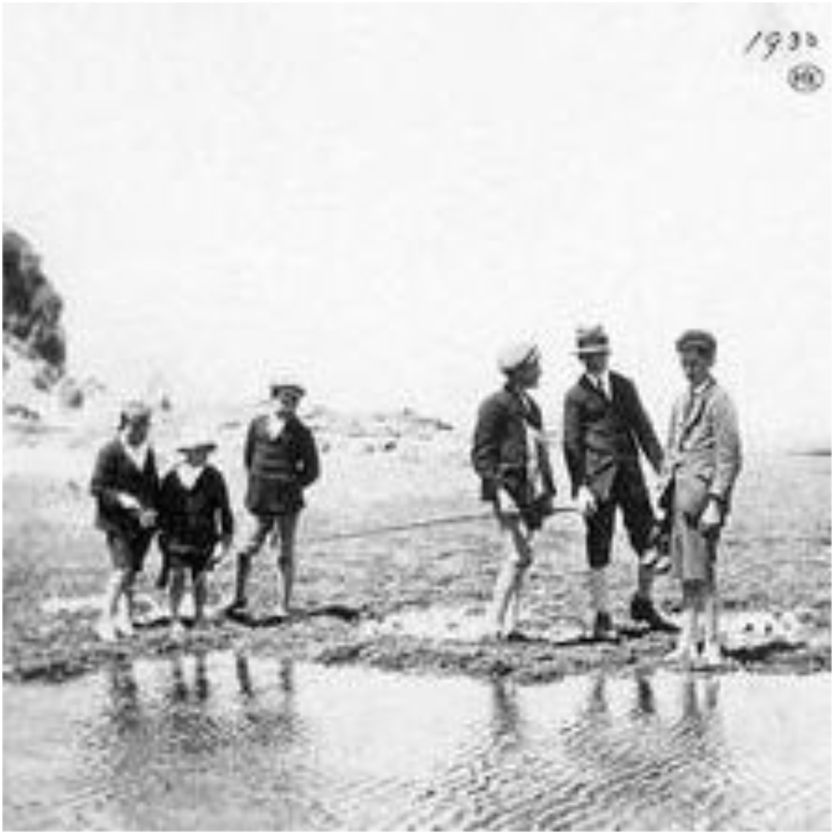
Some photographs of the rock pools at the back point of the Bluff. Above left and right were taken in 1912 and the one to the left in 1930. An Interesting observation is that except for the adults in the top left, the fashions of the teenagers are similar to current trends – full body bathers and long shorts.